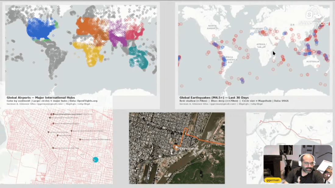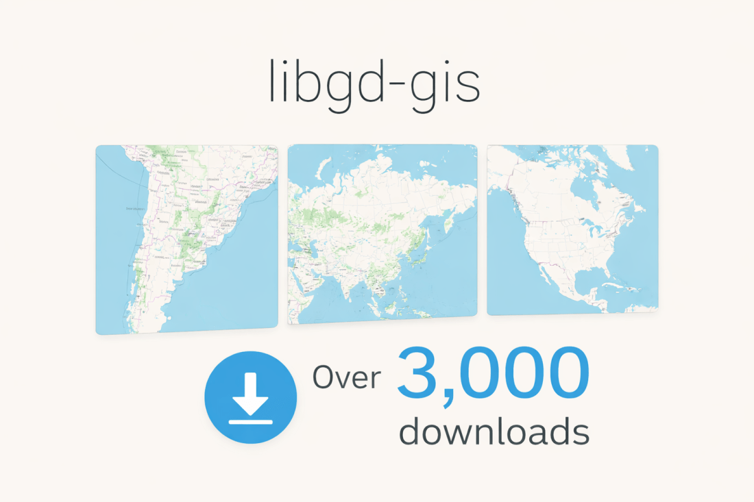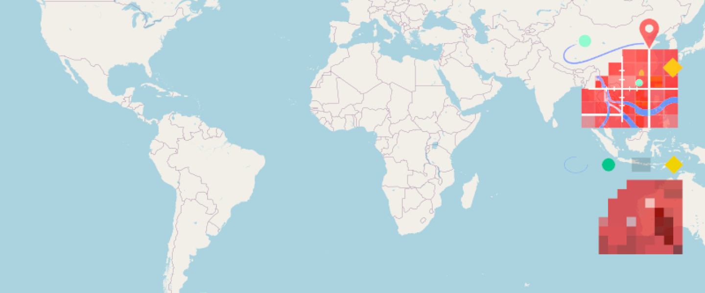
Scan to try 🎯 Live Demo Available Introducing MapView Render beautiful, production-ready maps directly from your Ruby backend. No external APIs. No dependencies. Just pure speed and control. ✓ Zero external dependencies ✓ Lightning-fast rendering ✓ Production-ready & battle-tested Try the Live Demo → Read Docs Over the past months, I've been iterating on a … Continue reading When Signals Align: A Ruby GIS Project Finds Its Audience
Tag: travel
MapView Flyers are at RubyKaigi 2026 – Here’s the Must-Watch Talk Schedule
MapView Flyers are at RubyKaigi 2026 – Here's the Must-Watch Talk Schedule April 22, 2026 Scan to try 🎯 Live Demo Available Introducing MapView Render beautiful, production-ready maps directly from your Ruby backend. No external APIs. No dependencies. Just pure speed and control. ✓ Zero external dependencies ✓ Lightning-fast rendering ✓ Production-ready & battle-tested Try … Continue reading MapView Flyers are at RubyKaigi 2026 – Here’s the Must-Watch Talk Schedule
🌍 Rendering Maps by Name: Symbolic Geographic Extents in Ruby
Working with maps usually means working with numbers — lots of numbers. If you want to render a map of a country, region, or continent, you normally need to know its exact bounding box: bbox = [-73.6, -55.1, -53.6, -21.7] # Argentina Not exactly readable. Not memorable. Not friendly. What if you could just say: … Continue reading 🌍 Rendering Maps by Name: Symbolic Geographic Extents in Ruby
libgd-gis: A Practical GIS Rendering Engine for Ruby
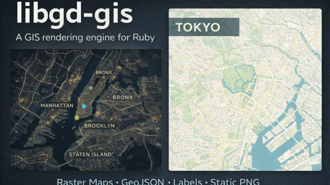
January 23, 2026 Raster maps, GeoJSON overlays, and real-world cartography — without leaving Ruby. Over the last months, I’ve been working on libgd-gis, a GIS rendering engine built on top of libgd and designed specifically for Ruby developers who need static map generation without relying on browser-based toolchains or heavyweight GIS stacks. This article walks … Continue reading libgd-gis: A Practical GIS Rendering Engine for Ruby
libgd-gis continues to grow — now with styles and more
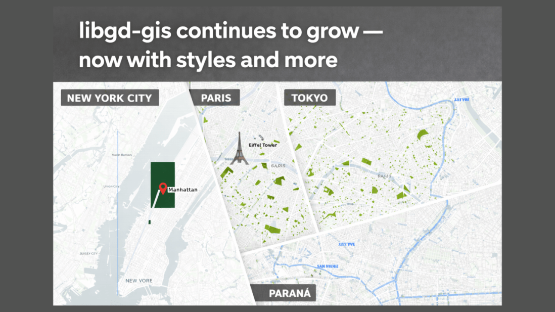
January 12, 2026 Real-world cartography in pure Ruby RubyStackNews — January 2026 From geometry to cities Until recently, libgd-gis could render raw GeoJSON. Now it renders cities. Over the last development cycle, libgd-gis evolved from a low-level geometry renderer into a style-aware, layered GIS engine capable of producing publication-quality maps — directly from Ruby. With … Continue reading libgd-gis continues to grow — now with styles and more
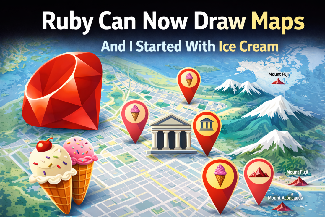
Ruby Can Now Draw Maps — And I Started With Ice Cream
January 7, 2026 How libgd-gis turns Ruby into a real GIS engine For many years, Ruby quietly missed something important. Yes, Ruby is amazing at APIs, data processing, background jobs, and web platforms — but when it came to maps, graphics, and spatial data, Ruby was forced to step aside and let other languages do … Continue reading Ruby Can Now Draw Maps — And I Started With Ice Cream