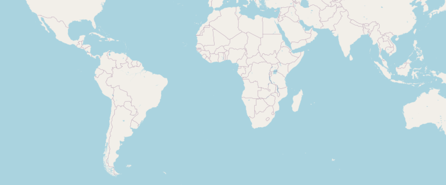

Working with maps usually means working with numbers — lots of numbers.
If you want to render a map of a country, region, or continent, you normally need to know its exact bounding box:
bbox = [-73.6, -55.1, -53.6, -21.7] # Argentina
Not exactly readable. Not memorable. Not friendly.
What if you could just say:
bbox: :argentina
With the latest update to libgd-gis, you can.
🧠 Named Geographic Extents
LibGD-GIS now includes a global dataset of predefined geographic areas.
Each area maps a human-readable name to a WGS84 bounding box.
Instead of coordinates, you use concepts.
:world:europe:asia:north_america:argentina:japan- …and many more
🚀 Example: Render Argentina in Seconds
require "gd/gis"

map = GD::GIS::Map.new(
  bbox: :argentina,
  zoom: 5,
  width: 800,
  height: 600,
  basemap: :osm
)map.render
map.save("argentina.png")
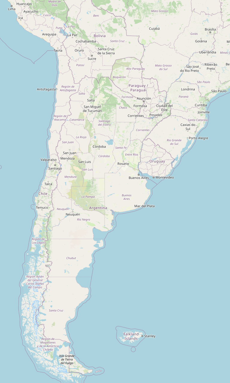
No coordinates. No GIS lookup. No guesswork.
🌎 Example: Entire World
map = GD::GIS::Map.new(
  bbox: :world,
  zoom: 2,
  width: 1000,
  height: 600,
  basemap: :osm
)map.render
map.save("world.png")
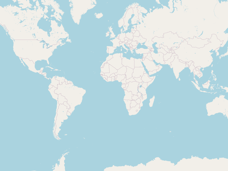
Perfect for dashboards, reports, or quick visualizations.
🌏 Continents and Regions
Because extents include continents, you can generate regional maps just as easily.
regions = [:europe, :asia, :south_america]regions.each do |region|
  map = GD::GIS::Map.new(
    bbox: region,
    zoom: 3,
    width: 900,
    height: 600,
    basemap: :osm
  )  map.render
  map.save("#{region}.png")
end
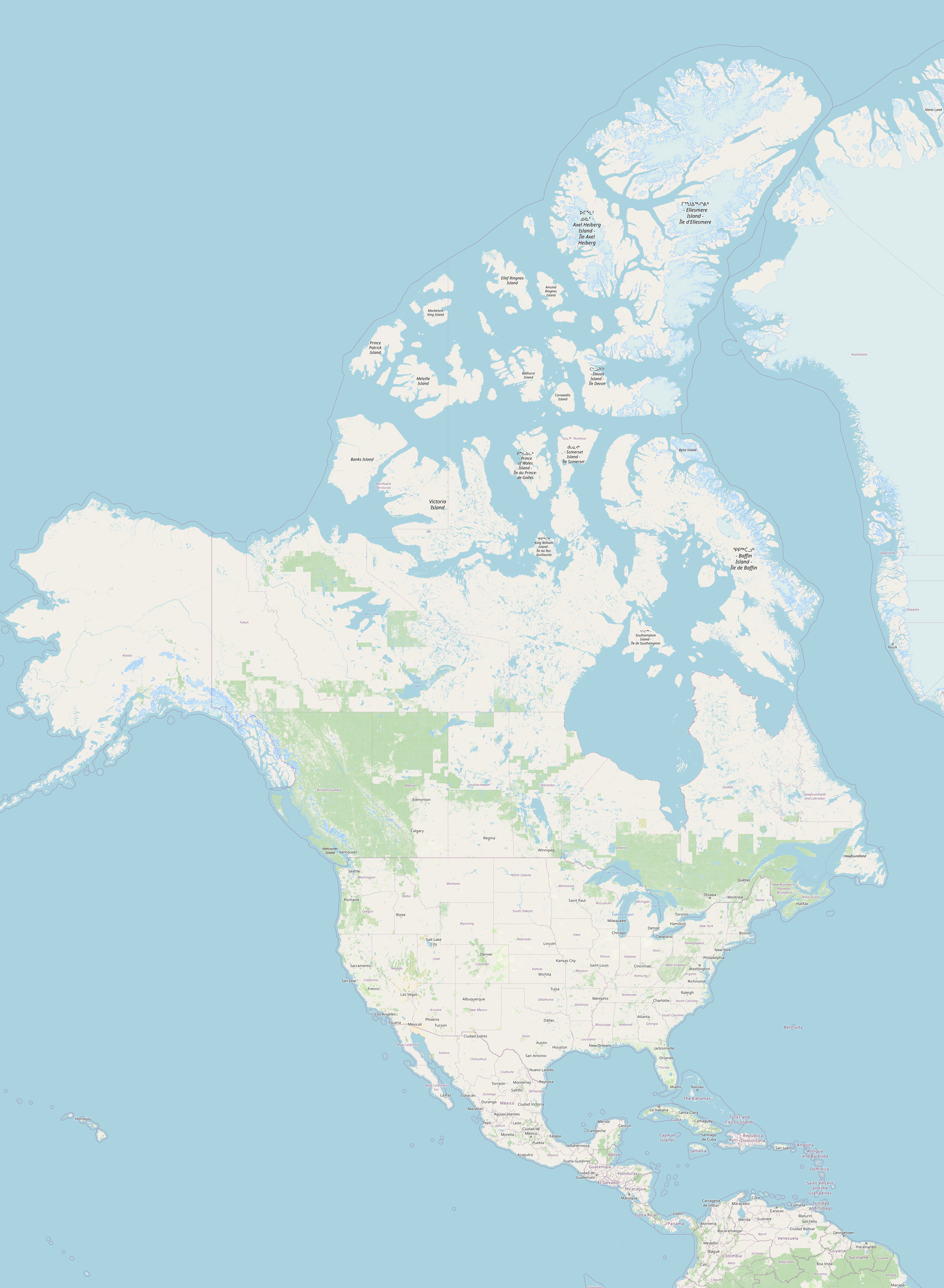
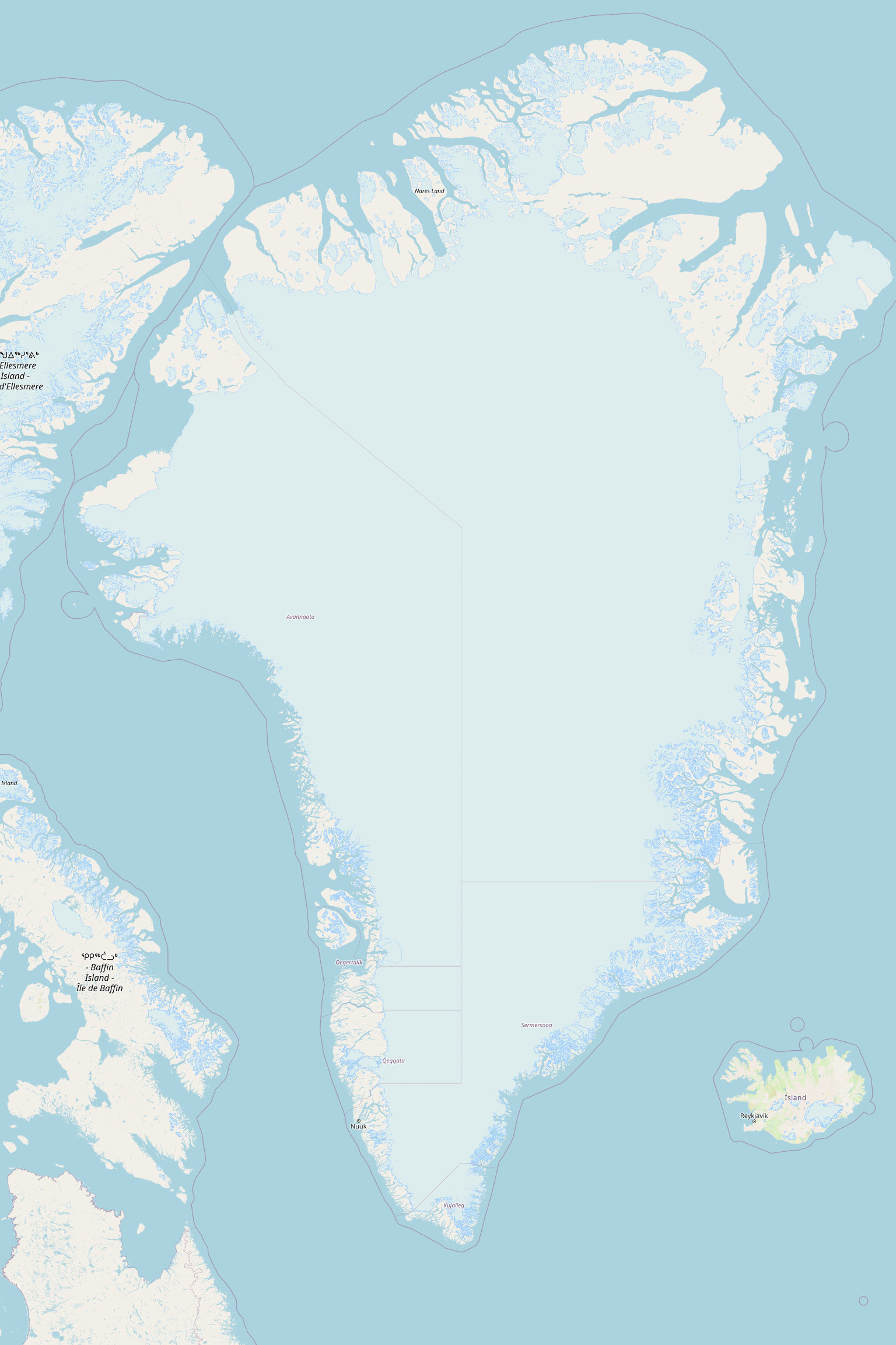
This is extremely useful for batch generation of visuals.
🔎 Under the Hood
You can also query the dataset directly:
GD::GIS::Extents.fetch(:argentina)
# => [min_lng, min_lat, max_lng, max_lat]GD::GIS::Extents.all
# => [:world, :europe, :asia, :argentina, ...]
Coordinates use:
- WGS84 (EPSG:4326)
- Longitude/Latitude order
- Approximate bounds for visualization
⭐ Why This Matters
Named extents turn raw geometry into meaningful geography.
Instead of thinking:
“What are the coordinates?”
You think:
“What place do I want?”
This makes code:
✔️ More readable
✔️ Easier to maintain
✔️ Faster to prototype
✔️ Ideal for automation
✔️ Friendly for non-GIS developers
🏁 Conclusion
Symbolic geographic extents bring a simple but powerful idea to server-side mapping:
Use names instead of numbers.
For many applications — dashboards, reporting, monitoring, education, or demos — this is exactly what you need.
And sometimes, the biggest usability improvements come from removing complexity, not adding features.