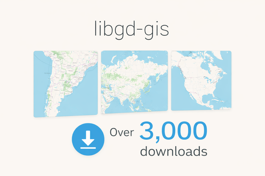
Working with maps usually means working with numbers — lots of numbers. If you want to render a map of a country, region, or continent, you normally need to know its exact bounding box: bbox = [-73.6, -55.1, -53.6, -21.7] # Argentina Not exactly readable. Not memorable. Not friendly. What if you could just say: … Continue reading 🌍 Rendering Maps by Name: Symbolic Geographic Extents in Ruby
Category: Weelkly Article
This section includes the best article of the week.
From Delayed Job to Solid Queue: How a 10-Year Rails App Finally Achieved Linear Scaling
From Delayed Job to Solid Queue: How a 10-Year Rails App Finally Achieved Linear Scaling February 16, 2026 Lessons from Kaigi on Rails 2025 — Shohei Kobayashi In large Rails systems, background jobs are not a detail — they are the system. Email delivery, AI processing, document generation, data cleanup, notifications, analytics pipelines — everything … Continue reading From Delayed Job to Solid Queue: How a 10-Year Rails App Finally Achieved Linear Scaling
Designing Safe Parallelism in Rails
Designing Safe Parallelism in Rails February 12, 2026 Eliminating Connection Pool Exhaustion in Production At Kaigi on Rails 2025, 片田 恭平 (@katakyo) delivered a deeply practical talk titled: “もう並列実行は怖くない — コネクション枯渇解消のための実践的アプローチ” (“Parallel Execution Is No Longer Scary — A Practical Approach to Eliminating Connection Pool Exhaustion”) もう並列実行は怖くない__コネクション枯渇解消のための実践的ア… This session explored a real-world scaling problem inside … Continue reading Designing Safe Parallelism in Rails
When Maps Explain Themselves: Legends, Style, and Finished Images in Ruby
February 10, 2026 Introduction libgd-gis now supports legends, introducing a fundamental building block in map communication. With the release of v0.4.1, legends become a first-class feature of the rendering pipeline, pushing the library one step closer to covering the essential capabilities expected from a modern GIS engine. Legends are not just a visual accessory. They … Continue reading When Maps Explain Themselves: Legends, Style, and Finished Images in Ruby
A quick DEMO of Ruby-LibGD v0.2.4.
Not a tutorial, not a benchmark — just experimenting with 2D and 3D rendering in Ruby and confirming that the foundation is already mature and reliable. Links: https://rubygems.org/gems/ruby-libgd https://github.com/ggerman/ruby-libgd # frozen_string_literal: true require "gd" W = 1400 H = 500 TEXT = "Ruby-LibGD v0.2.4" FONT = "/usr/share/fonts/truetype/dejavu/DejaVuSans-Bold.ttf" SIZE = 72 DEPTH = 32 img = … Continue reading A quick DEMO of Ruby-LibGD v0.2.4.
Opening the Heart of libgd-gis
Opening the Heart of libgd-gis February 3, 2026 How Ruby Turns Coordinates into Maps (and Why Tests Matter) Maps look simple on the surface. You give them coordinates. They give you an image. But anyone who has gone even slightly deeper knows that coordinates are never just numbers. They are context. They are assumptions. They … Continue reading Opening the Heart of libgd-gis
Making Maps with Ruby
Making Maps with Ruby January 29, 2026 Static and animated cartography built directly from GeoJSON For a long time, generating maps from code meant working inside heavy ecosystems designed primarily for analysis. Those tools are powerful, but they are not always the right fit. In many practical scenarios, the problem is simpler and more concrete: … Continue reading Making Maps with Ruby
Ruby Rendering Seismic Observation Data
January 27, 2026 From Disaster Prevention to High-Performance Maps On December 26, 2025, I published an article titled “Ruby at the Front Line of Disaster Prevention.” It was inspired by a real, uncomfortable fact: Tokyo Gas uses Ruby to protect millions of people during earthquakes. Not in theory. Not as a prototype. In production. That … Continue reading Ruby Rendering Seismic Observation Data
Now Ruby GIS Rendering: Stabilizing the libgd-gis Rendering API
Stabilizing the libgd-gis Rendering API January 19, 2026 This article documents the current state of libgd-gis following a significant internal update: the stabilization and freeze of its core rendering API. The update consolidates the project’s primary responsibilities—static GIS rendering, layered composition, and post-render image manipulation—into a stable and documented surface. Alongside this milestone, comprehensive documentation … Continue reading Now Ruby GIS Rendering: Stabilizing the libgd-gis Rendering API
libgd-gis continues to grow — now with styles and more
January 12, 2026 Real-world cartography in pure Ruby RubyStackNews — January 2026 From geometry to cities Until recently, libgd-gis could render raw GeoJSON. Now it renders cities. Over the last development cycle, libgd-gis evolved from a low-level geometry renderer into a style-aware, layered GIS engine capable of producing publication-quality maps — directly from Ruby. With … Continue reading libgd-gis continues to grow — now with styles and more


