libgd-gis: Filling Ruby’s Graphics Gap and Building an Ecosystem

libgd-gis: Filling Ruby's Graphics Gap and Building an Ecosystem March 26, 2026 For years, generating map tiles, GIS visualizations, and fast raster graphics in Ruby has been a painful experience. ImageMagick derivatives were slow. External services added latency and complexity. The old ruby-gd binding languished unmaintained. Then ruby-libgd arrived - a modern, actively maintained binding … Continue reading libgd-gis: Filling Ruby’s Graphics Gap and Building an Ecosystem
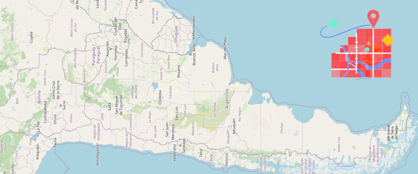
A New View of Earth, Powered by Ruby

January 22, 2026 libgd-gis, satellite imagery, and a new way to think about maps Most mapping libraries start from the same place: roads, labels, vectors, tiles. But what happens if the map itself is not the goal? What if the map is just a lens to observe the planet? This article is about how libgd-gis, … Continue reading A New View of Earth, Powered by Ruby

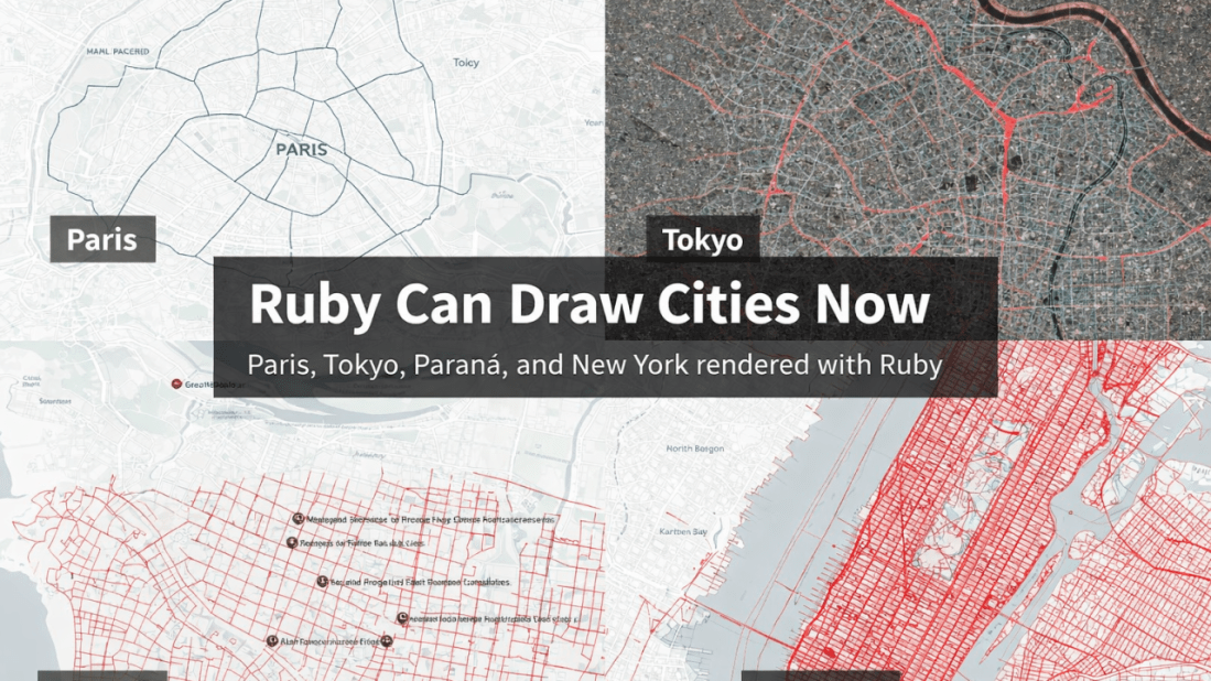
Ruby Can Draw Cities Now

January 9, 2026 Scan to try 🎯 Live Demo Available Introducing MapView Render beautiful, production-ready maps directly from your Ruby backend. No external APIs. No dependencies. Just pure speed and control. ✓ Zero external dependencies ✓ Lightning-fast rendering ✓ Production-ready & battle-tested Try the Live Demo → Read Docs How I built a pure-Ruby GIS … Continue reading Ruby Can Draw Cities Now

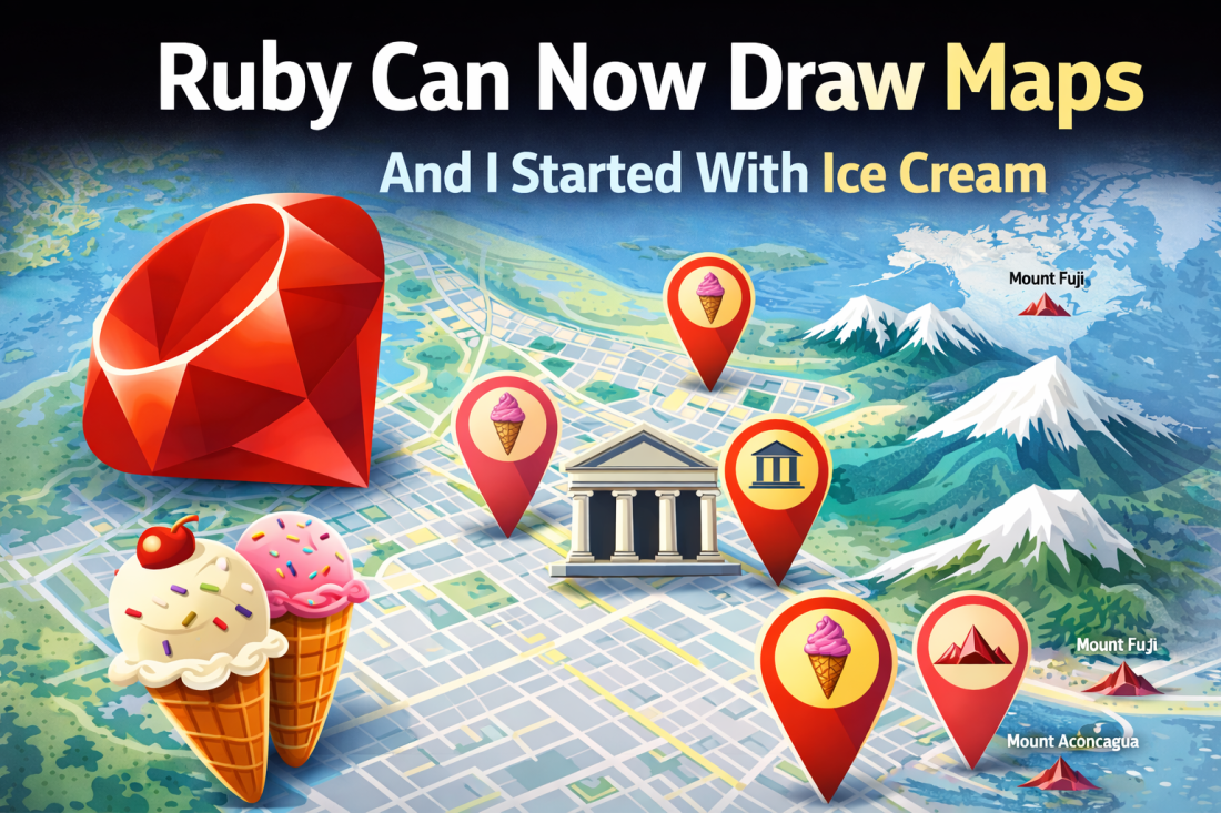
Ruby Can Now Draw Maps — And I Started With Ice Cream

January 7, 2026 How libgd-gis turns Ruby into a real GIS engine For many years, Ruby quietly missed something important. Yes, Ruby is amazing at APIs, data processing, background jobs, and web platforms — but when it came to maps, graphics, and spatial data, Ruby was forced to step aside and let other languages do … Continue reading Ruby Can Now Draw Maps — And I Started With Ice Cream