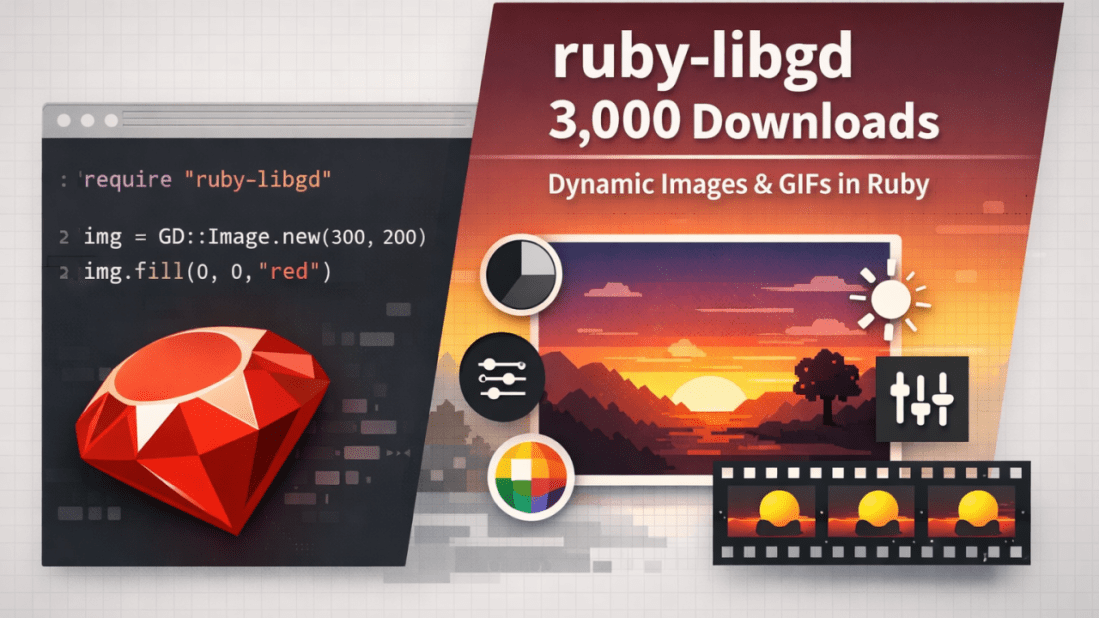
Running Notebooks the Ruby Way: From PoC to Production with RubyPyMill

Senior Ruby Engineer · Open-Source Author (ruby-libgd, libgd-gis) · FinTech & GIS January 20, 2026 In modern development teams, Proofs of Concept (PoC) are everywhere. They usually start as Jupyter notebooks: quick experiments, charts, metrics, comparisons, and visual insights. They work well for exploration — but too often, they stop there. The knowledge stays locked … Continue reading Running Notebooks the Ruby Way: From PoC to Production with RubyPyMill

map_view — Server-side maps for Ruby on Rails

For years, maps in Rails applications have lived almost entirely on the frontend:JavaScript libraries, external APIs, keys, variable costs, and a fair amount of friction. map_view starts from a simple question: What if maps in Rails were as simple as rendering a view? <%= map_for @locations %> That’s it. What is map_view? map_view is a … Continue reading map_view — Server-side maps for Ruby on Rails

Now Ruby GIS Rendering: Stabilizing the libgd-gis Rendering API

Stabilizing the libgd-gis Rendering API January 19, 2026 This article documents the current state of libgd-gis following a significant internal update: the stabilization and freeze of its core rendering API. The update consolidates the project’s primary responsibilities—static GIS rendering, layered composition, and post-render image manipulation—into a stable and documented surface. Alongside this milestone, comprehensive documentation … Continue reading Now Ruby GIS Rendering: Stabilizing the libgd-gis Rendering API

libgd-gis v0.2.7.pre.alpha.1

January 16, 2026 Testing GIS animations in Ruby (exploratory work) Today, early in the morning, after releasing GIF and animation support in ruby-libgd, together with updated documentation, versioning, and examples, I decided to do something very concrete: spend the entire day stress-testing the alpha version of libgd-gis. And what better way to test animations than … Continue reading libgd-gis v0.2.7.pre.alpha.1

Ruby Now Has an Animated Map Engine (Alpha Preview)

Ruby Now Has an Animated Map Engine January 15, 2026 Building real-time, animated maps in pure Ruby — no JavaScript required. A new class of maps for Ruby Over the past weeks, we’ve been extending ruby-libgd and libgd-gis far beyond static image rendering. What started as a raster + GIS toolkit is now evolving into … Continue reading Ruby Now Has an Animated Map Engine (Alpha Preview)

ruby-libgd v0.2.2 — Text & Layout Foundations for Ruby Graphics

Text & Layout Foundations for Ruby Graphics January 14, 2026 The biggest limitation of most Ruby image libraries is not pixels — it’s text. Fonts, labels, positioning, alignment, rotation, and layout are what separate a toy renderer from a real graphics engine. Until now, ruby-libgd only exposed a very minimal wrapper around FreeType. It worked, … Continue reading ruby-libgd v0.2.2 — Text & Layout Foundations for Ruby Graphics

libgd-gis moves into serious cartography territory

January 13, 2026 Rivers of Europe and Entre Ríos rendered directly in Ruby Today marks a major milestone for libgd-gis: we crossed from “experimental map renderer” into a real GIS-grade drawing engine. Using nothing but Ruby + libgd, we are now able to render continent-scale river networks, provincial hydrology, and complex GeoJSON layers with proper … Continue reading libgd-gis moves into serious cartography territory

libgd-gis continues to grow — now with styles and more

January 12, 2026 Real-world cartography in pure Ruby RubyStackNews — January 2026 From geometry to cities Until recently, libgd-gis could render raw GeoJSON. Now it renders cities. Over the last development cycle, libgd-gis evolved from a low-level geometry renderer into a style-aware, layered GIS engine capable of producing publication-quality maps — directly from Ruby. With … Continue reading libgd-gis continues to grow — now with styles and more

Ruby Can Draw Cities Now

January 9, 2026 How I built a pure-Ruby GIS engine that renders Paris, Tokyo, New York, and more Most people don’t think of Ruby when they think about maps, GIS, or visual computing. If you want to draw a real city, the standard stack usually looks like: QGIS PostGIS Mapnik Mapbox or a heavy JavaScript … Continue reading Ruby Can Draw Cities Now

Some fresh Ruby GIS gossip

January 8, 2026 I’ve been quietly working on two Ruby libraries that are starting to click together in a really interesting way: libgd-gis — the GIS brain: maps, basemaps, lines, polygons ruby-libgd — the raster engine: pixels, alpha, image scaling, compositing Over the last days I added: lines, polygons and basemap switching to libgd-gis (0.1.3) … Continue reading Some fresh Ruby GIS gossip